



2NC0 - Mountain Air MSFS
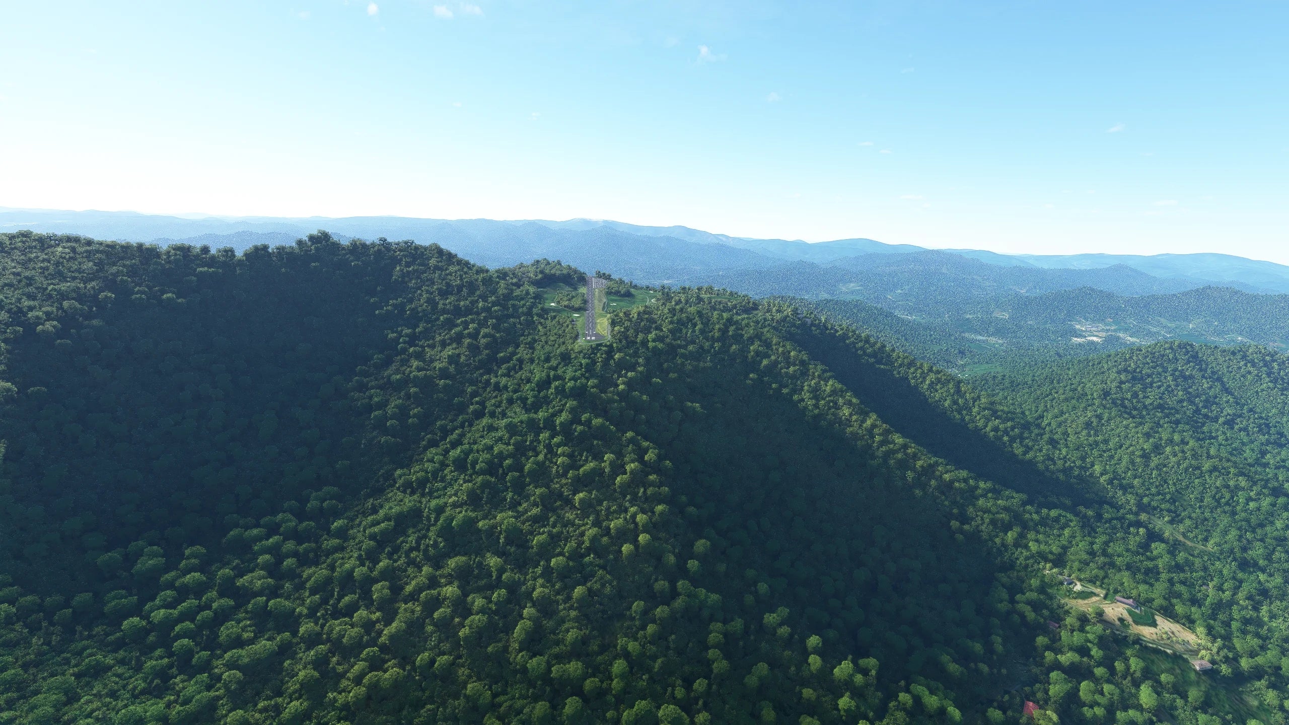
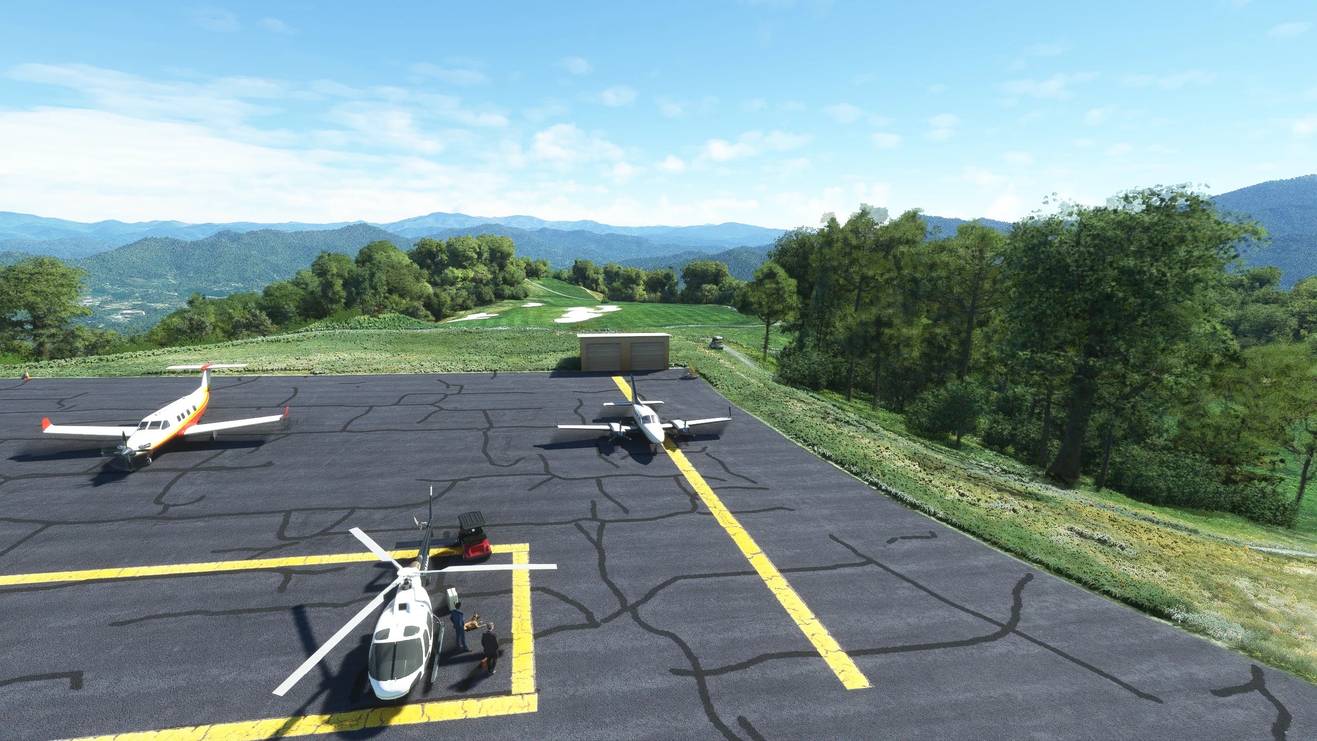
Surrounded by the famous Blue Ridge Mountains and tucked away on a lush, green hilltop in North Carolina’s famous Slickrock Mountain area, is a very unique altiport called the Mountain Air Airport. The airport is privately owned by the Mountain Air Development Corporation and sits nestled in the hillside at an elevation of 1350 meters (4432 feet), with a lavish country club and golf course in immediate proximity.
Due to the immediate proximity of Mountain Air Airport to the Mountain Air Country Club, 2NC0 is a very popular destination for both aviators and golf enthusiasts. Located roughly halfway between Knoxville and Charlotte, the nearby Burnsville is a mere 15 mins. drive away. The area surrounding the airport also features the private, gated community of Mountain Air, which offers a truly spectacular panorama with long-range mountain views from the various properties located there.
The airport’s GPS coordinates are: 35°52′7.4″N 82°20′30.5″W (35.86872, -82.34179) The location of this very unique North American altiport not only provides a visually breathtaking approach and departure above the Blue Ridge Mountains, the surrounding terrain and unpredictable weather associated with mountainous terrain, do not leave much margin for error, and is likely to keep even the most experienced pilot on their toes.
- Accurate representation of the 2022 Mountain Air Airport layout
- 4K resolution textures
- Fully native MSFS scenery, not a conversion
- Practice landing on a unique altiport featuring a significant runway slope
- Custom crafted mesh to accurately represent the many hills and mountainous terrain around the airport
- Zeit-Dynamic scenery features create a unique and ever-changing airport environment
- 18+ square kilometers hand-crafted photoreal satellite imagery
- Realistic shadow rendition
- Special night light shadows textures
- Custom buildings for surrounding areas and lots of custom objects
- Fully optimized design for great performance and high frame rates
Original: $15.03
-65%$15.03
$5.26Product Information
Product Information
Shipping & Returns
Shipping & Returns
Description
Surrounded by the famous Blue Ridge Mountains and tucked away on a lush, green hilltop in North Carolina’s famous Slickrock Mountain area, is a very unique altiport called the Mountain Air Airport. The airport is privately owned by the Mountain Air Development Corporation and sits nestled in the hillside at an elevation of 1350 meters (4432 feet), with a lavish country club and golf course in immediate proximity.
Due to the immediate proximity of Mountain Air Airport to the Mountain Air Country Club, 2NC0 is a very popular destination for both aviators and golf enthusiasts. Located roughly halfway between Knoxville and Charlotte, the nearby Burnsville is a mere 15 mins. drive away. The area surrounding the airport also features the private, gated community of Mountain Air, which offers a truly spectacular panorama with long-range mountain views from the various properties located there.
The airport’s GPS coordinates are: 35°52′7.4″N 82°20′30.5″W (35.86872, -82.34179) The location of this very unique North American altiport not only provides a visually breathtaking approach and departure above the Blue Ridge Mountains, the surrounding terrain and unpredictable weather associated with mountainous terrain, do not leave much margin for error, and is likely to keep even the most experienced pilot on their toes.
- Accurate representation of the 2022 Mountain Air Airport layout
- 4K resolution textures
- Fully native MSFS scenery, not a conversion
- Practice landing on a unique altiport featuring a significant runway slope
- Custom crafted mesh to accurately represent the many hills and mountainous terrain around the airport
- Zeit-Dynamic scenery features create a unique and ever-changing airport environment
- 18+ square kilometers hand-crafted photoreal satellite imagery
- Realistic shadow rendition
- Special night light shadows textures
- Custom buildings for surrounding areas and lots of custom objects
- Fully optimized design for great performance and high frame rates