





Offshore Landmarks: North Sea MSFS
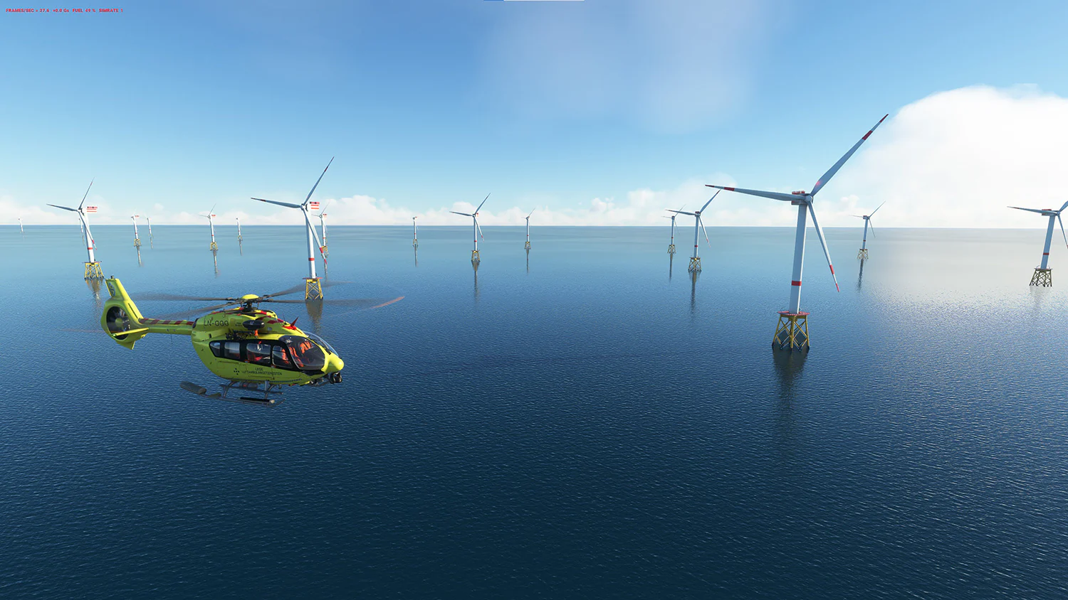
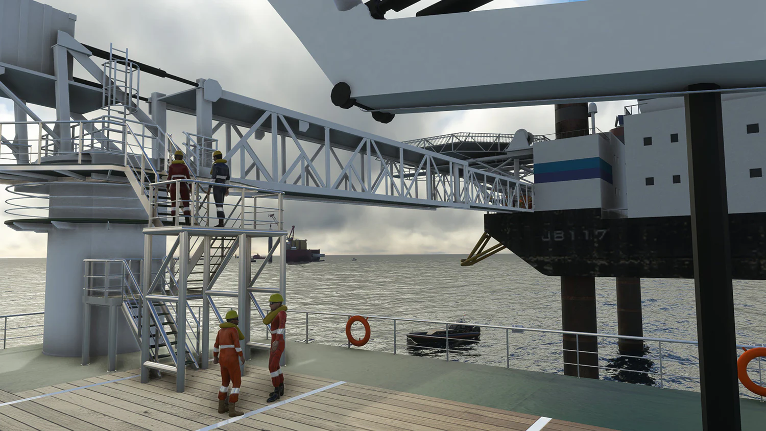
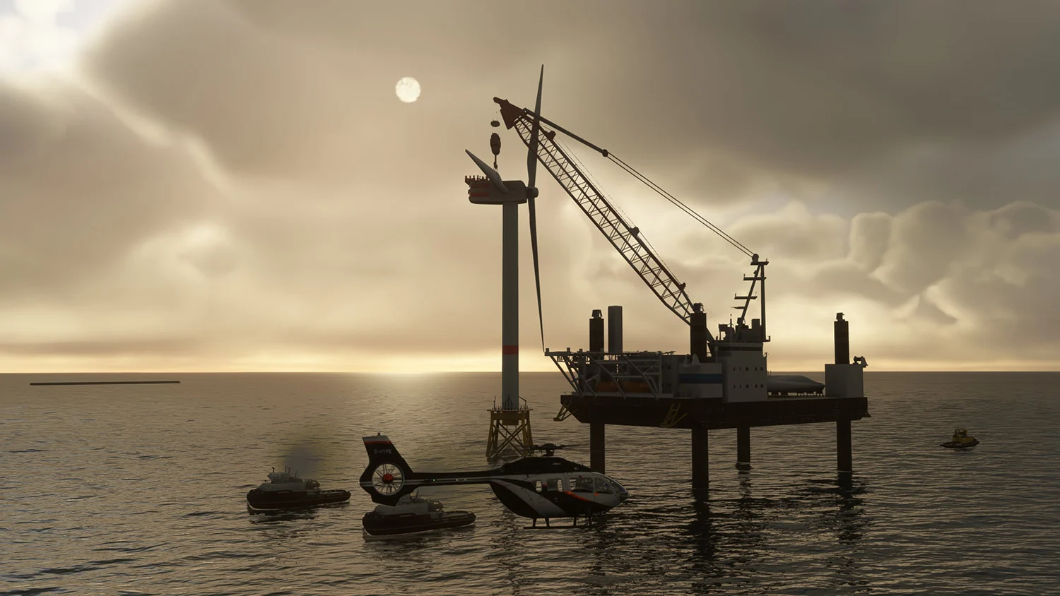
In 2030 65% of the North Sea will be an industrial zone. Over 70% of the electricity for countries surrounding the North Sea will be generated by the massive offshore wind parks. The North Sea is the biggest work site on the planet, where ships costing billions of dollars place and remove wind turbines and platforms. Thousands of people work there in often atrocious conditions. What used to be an ‘empty’ sea is now filled with platforms, wind farms and other structures. Aviation plays a huge role in this developing industry. Over 90% of European helicopter traffic is dedicated to the offshore industry.
That is why we believe a scenery covering the North Sea, the English Channel and the Irish sea makes sense. With the simulator fully supporting helicopters, a new territory to explore is available!
All the objects are placed in exactly the correct position using databases collected over many months. The ships are all located where they were on Jan 20, 2022, at 12:00 GMT. This means that every ship is in a ‘logical’ position. So, a cargo ship could be at an anchorage waiting for a port dock to become available, a small fishing vessel going to its fishing ground or a construction ship placing pylons for new wind turbines.
We strongly recommend reading the manual before buying this product, so you are aware of our design decisions and possible limitations. You will find the manual here: https://freeware.aerosoft.com/forum/downloads/Manual_North_Sea.pdf
- Over a billion polygons
- Fully usable crew boat (designed to be used with outside view only)
- 388 new heliports
- 196 new airports (ICAO codes)
- 78 new NDB stations
- 741 new ships with helideck or winch locations
- 72 new substations (part of a wind park) helideck
- All objects with extensive LOD support, emissive and dynamic lights
- Most objects will have some form of animation
Check out the product page in the Contrail App for a full list of features!
Original: $16.57
-65%$16.57
$5.80Product Information
Product Information
Shipping & Returns
Shipping & Returns
Description
In 2030 65% of the North Sea will be an industrial zone. Over 70% of the electricity for countries surrounding the North Sea will be generated by the massive offshore wind parks. The North Sea is the biggest work site on the planet, where ships costing billions of dollars place and remove wind turbines and platforms. Thousands of people work there in often atrocious conditions. What used to be an ‘empty’ sea is now filled with platforms, wind farms and other structures. Aviation plays a huge role in this developing industry. Over 90% of European helicopter traffic is dedicated to the offshore industry.
That is why we believe a scenery covering the North Sea, the English Channel and the Irish sea makes sense. With the simulator fully supporting helicopters, a new territory to explore is available!
All the objects are placed in exactly the correct position using databases collected over many months. The ships are all located where they were on Jan 20, 2022, at 12:00 GMT. This means that every ship is in a ‘logical’ position. So, a cargo ship could be at an anchorage waiting for a port dock to become available, a small fishing vessel going to its fishing ground or a construction ship placing pylons for new wind turbines.
We strongly recommend reading the manual before buying this product, so you are aware of our design decisions and possible limitations. You will find the manual here: https://freeware.aerosoft.com/forum/downloads/Manual_North_Sea.pdf
- Over a billion polygons
- Fully usable crew boat (designed to be used with outside view only)
- 388 new heliports
- 196 new airports (ICAO codes)
- 78 new NDB stations
- 741 new ships with helideck or winch locations
- 72 new substations (part of a wind park) helideck
- All objects with extensive LOD support, emissive and dynamic lights
- Most objects will have some form of animation
Check out the product page in the Contrail App for a full list of features!